Spotter
ConceptOverview
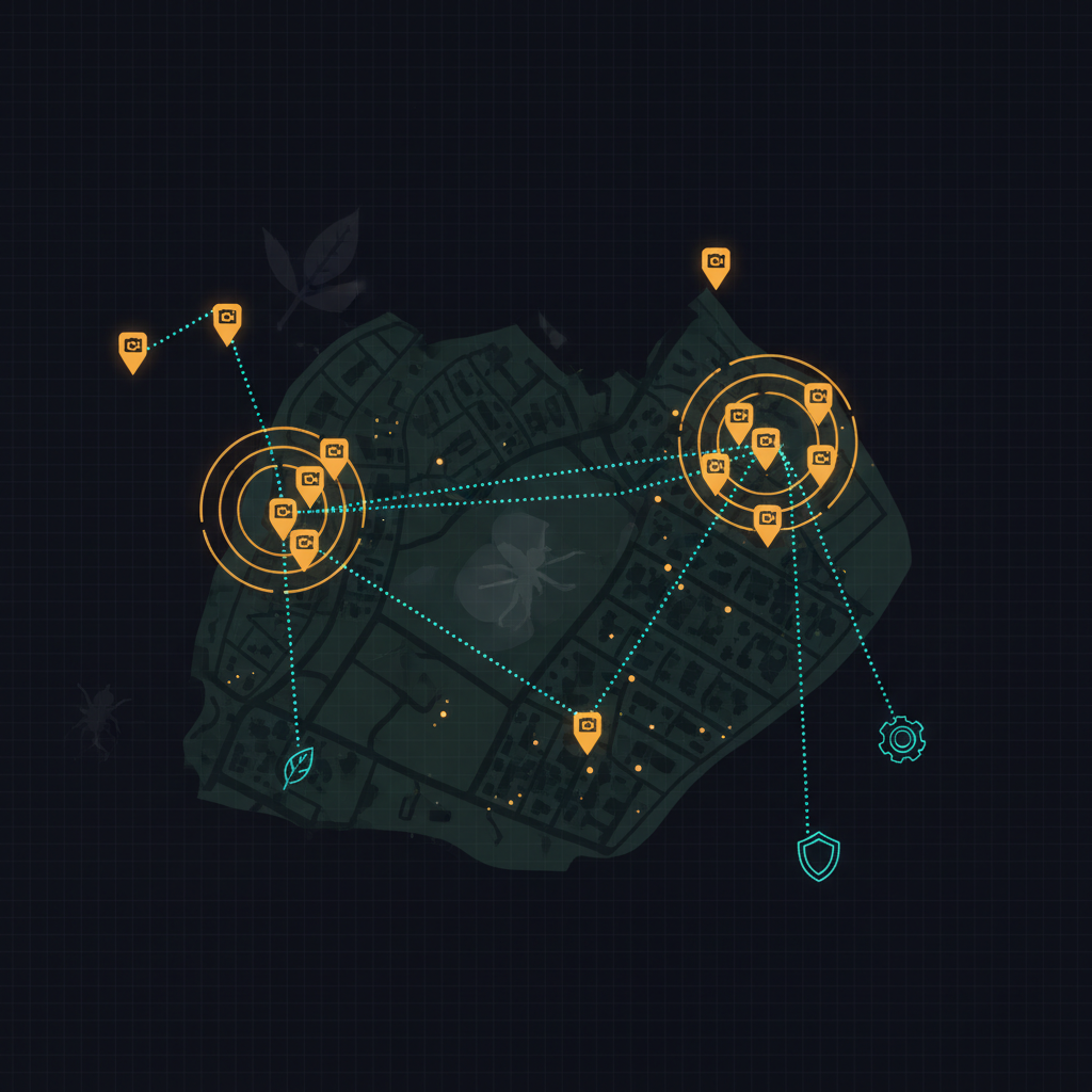
A citizen sees something worth reporting — an unfamiliar insect on a tree, a clutch of rats under a dumpster, a clump of an unknown weed in a creek. They take a photo. Spotter identifies what they saw, places it on a map alongside other recent sightings, and notifies the agency responsible for that kind of thing.
One platform, two configuration presets — same mechanics, different agency endpoints, urgency thresholds, and tone of public-facing copy.
Two use modes
Invasive species
Routes to state agriculture, USDA APHIS, state wildlife agencies, university extension services, and EDDMapS-style systems. Goal: longitudinal data on spread plus early-detection triggers for containment response.
spotted lanternfly · emerald ash borer · jumping worms · hydrilla · kudzu · Asian giant hornet · lionfish · nutria · feral hogs
Vermin and pests
Routes to city or county vector control, public health, public works, and code enforcement. Goal: identify hot spots needing abatement, surface emerging pest pressure, and close the loop with the resident who reported.
rats · roof rats · bedbugs · cockroach swarms · mosquito breeding sites · wasp nests in public spaces · dead animals in storm drains
How it works
2. Platform extracts EXIF geolocation; falls back to device GPS or address picker.
3. ML identification suggests a species — resident confirms or picks an alternative. Unknown is fine; an expert can review.
4. Sighting joins the map; clusters auto-form when multiple sightings hit the same area.
5. Routing notifies the right agency — immediately for high-severity matches, batched into daily digests for routine ones.
6. Resident receives status: "flagged for inspection", "abatement scheduled", or "identified as native — no action needed".
Open questions
- Identification quality. Off-the-shelf models (iNaturalist Seek, Pl@ntNet) are good. Decide between external APIs vs. self-hosted models per species class.
- False positives at scale. A common moth gets reported as spotted lanternfly 200 times. Confidence scoring plus light-touch expert review for high-stakes IDs.
- Agency intake formats. Some have email-only intake, some run iMapInvasives or county GIS. Per-agency adapters, similar to Service Routing's Open311 / Accela / SeeClickFix mix.
- Resident privacy. Photo geotag often points to someone's house. Coarsen public-facing locations to a 100m grid centroid; keep precise coordinates only in the agency view.
- Closing the loop. The reason iNaturalist works is the social and curiosity payoff. The reason 311 works is the abatement payoff. Spotter needs both.
- Data sharing. Per-user opt-in for contributions to roll up into existing public biodiversity datasets (GBIF, iNaturalist, EDDMapS).
Why one project covers both modes
The mechanics — photo, identify, geolocate, aggregate, route — are identical for invasive species and for pests. The only real differences are which agency receives the data and what the urgency profile looks like. Both belong in one product with configurable presets. Beacon (a sister concept) handles disasters separately because the activation/expiration model is genuinely different.
Status
Concept stage, under active exploration in the lab. Have a perspective on community reporting, or work on a platform this should integrate with? Get in touch.