Beacon
ConceptOverview
Disasters create short windows where crowdsourced eyewitness data is genuinely useful — photos of flooded streets, structural damage after an earthquake, debris on evacuation routes, observed plume direction in a chemical release. The information exists; people are already taking the photos. What's missing is a structured channel for getting that data to the emergency operations center that can act on it.
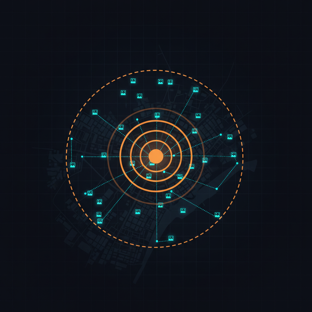
Beacon is a time- and place-bounded mode where an authorized agency activates a public call for information during a specific event. Unlike always-on reporting tools, Beacon is lit for an event and extinguished when the event ends — with retention policies declared up front.
Operating Model
- Activate. An authorized agency role lights a beacon — event type, geographic boundary, time window, what to collect.
- Reach. The public sees the active beacon (web, SMS, push) and contributes photos, location, short text, optional structured fields.
- Aggregate. Submissions stream into a clustered incident view for the EOC, with multi-witness confirmation surfacing high-signal reports.
- Expire. The beacon shuts off automatically; data follows pre-declared retention.
Scenarios
Pre-staged setup
For a beacon to launch in minutes during a real event, an agency does some work ahead of time: designate authorized activators, pre-declare common beacon templates with their forms and retention windows, configure default downstream recipients, pre-publish a public-facing landing page so the first time residents see Beacon isn't during a crisis, and connect to existing notification channels.
Open questions
- Trust and verification. How do we surface high-confidence reports vs. noise, duplicates, or malicious submissions?
- PII and privacy. Faces and license plates in photos. Auto-blur on intake? Per-beacon disclosure rules?
- Retention. Default short, with explicit "preserve for after-action / FEMA IDA" carveout. Avoid becoming a permanent surveillance archive.
- Authorization. Who can light a beacon? Tiered — local jurisdictions for routine, county or state OES for cross-jurisdictional.
- Public dashboard vs. EOC-only. Some events benefit from public situational awareness, others should stay internal until vetted.
- Interop. Push beacon-derived data into agency systems they already use — WebEOC, ArcGIS, NIEM-EM, OASIS CAP.
Relationship to other UnGovr Request projects
Beacon shares geocoding, jurisdiction routing, SMS intake, and Open311-style downstream delivery with Service Routing. It differs from Spotter in operating mode — Beacon is bursty and agency-activated, Spotter is always-on and public-initiated. It differs from Rumble in input source — Beacon is human-submitted, Rumble is machine telemetry.
Status
Concept stage, under active exploration in the lab. Have a perspective on citizen hazard reporting, or work on a platform this should integrate with? Get in touch.